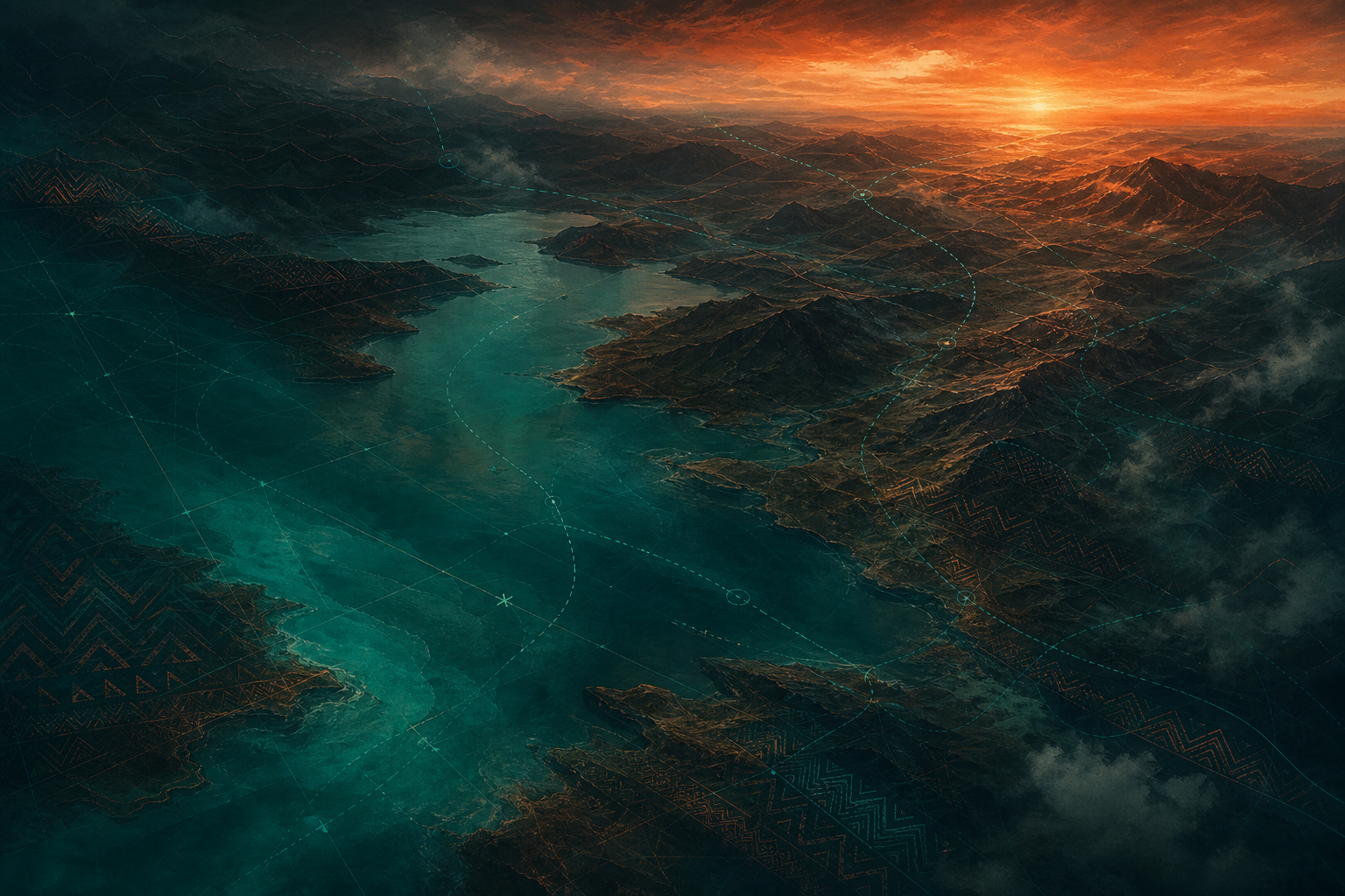
Mangochi & Salima
Lake Malawi shoreline
Boat charters, lakeside campsites and aerial mapping of the country's 580km freshwater coast.
World Wide Joint Discoverers — Malawi
Drone surveillance and mapping, lake boat charters, guided campsites and highland hikes — one Malawian crew, every angle of the journey covered.
Every service is built around what the land, the lake and the sky actually offer — not a generic tour package.
Land surveys, site inspections, agricultural monitoring and event coverage flown by licensed local pilots, delivered as maps, footage or reports.
Request a flight plan →Sunset charters, fishing village visits and island crossings along the third-largest lake in Africa, with local boat captains who know every cove.
Check sailing times →Mulanje, Zomba and Nyika trails led by certified guides, scaled from half-day forest walks to multi-day plateau crossings with porters.
See trail options →Lakeside and woodland campsites with fire pits, secure equipment storage and local catering — set up for solo travellers through to groups.
View site map →Weddings, real estate, tourism marketing and documentary footage shot over Malawi's lakeshore, escarpments and plateaus.
Browse packages →Combine drone, lake and trail into one custom itinerary for NGOs, researchers, film crews or groups wanting a fuller Malawian story.
Build an itinerary →The warm heart of africa
WWJD is built and flown by Malawians. Our pilots, boat captains and trail guides grew up on these shores and slopes — so every survey, sail and summit comes with context you won't find in a guidebook.
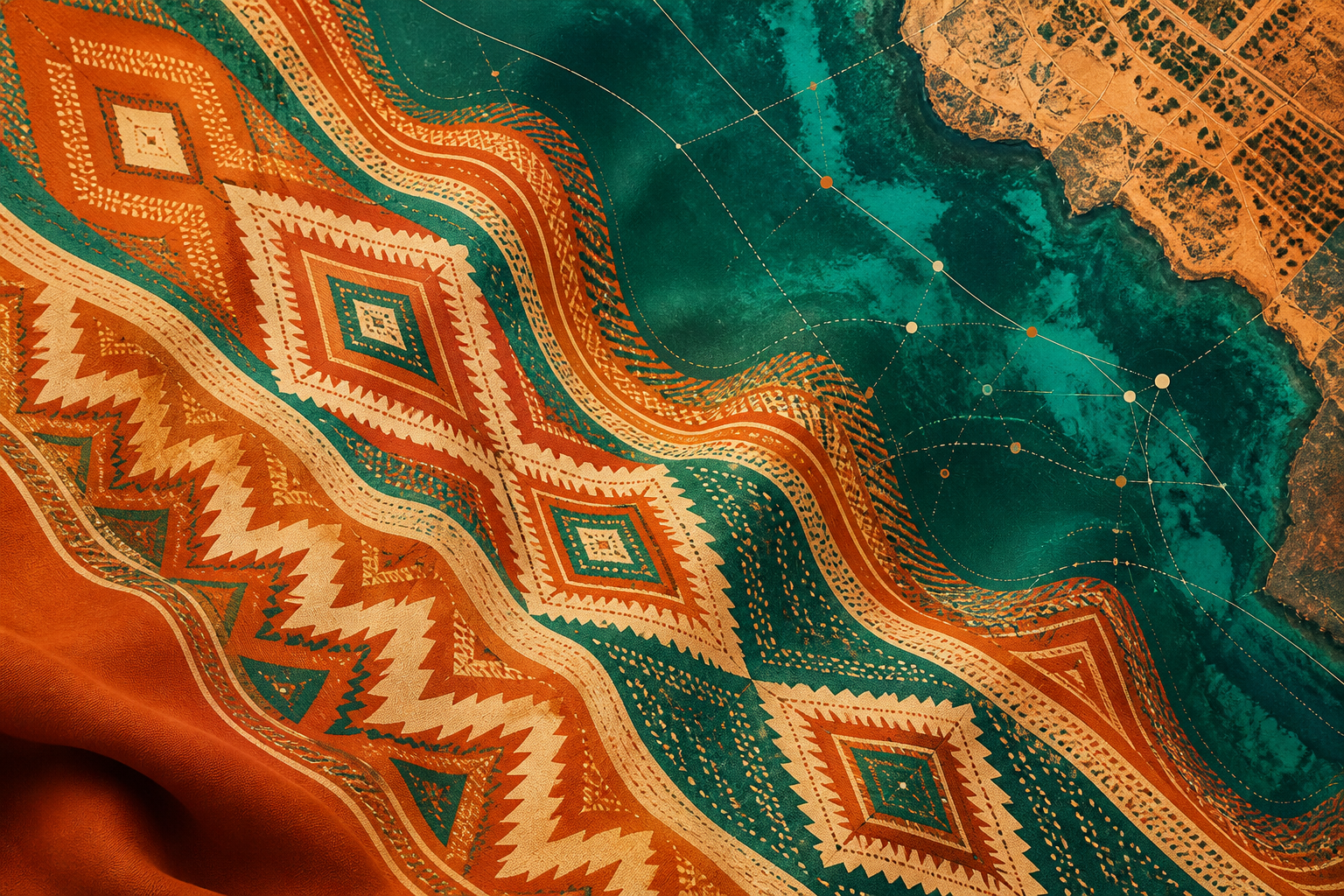
From the chitenje patterns that shape our visual identity to the songs our boat captains hum on Lake Malawi, this is tourism and technology rooted in place, not parachuted in.
Years operating
Local guides & pilots
Lakeshore basecamps
No app to download, no automated booking maze — just a clear path from enquiry to expedition.
Enquire
Send your service, dates and group size through the form below or by phone. We confirm feasibility within 24 hours, including any drone airspace clearance.
Confirm
A pilot, captain or guide is assigned from the area you're visiting, with equipment, permits and a fixed quote sent back to you for sign-off.
Discover
Footage, maps, photos or memories — delivered or made on-site, with a debrief so you know exactly what was captured or covered.
A sample of the terrain our pilots, guides and captains know best.
Mangochi & Salima
Boat charters, lakeside campsites and aerial mapping of the country's 580km freshwater coast.
Southern region
Guided multi-day hikes across Africa's tallest standalone massif.
Northern region
Rolling highlands surveyed by drone for wildlife and trail mapping.
WWJD didn't just fly a drone over our farm — they showed us land we'd worked for twenty years and never truly seen.
Fill in the form and a member of the WWJD team will get back to you with a tailored quote, usually within one business day.
bookings@wwjd-malawi.com
Phone / WhatsApp
+265 99 000 0000
Base of operations
Lilongwe & Mangochi, Malawi